Map
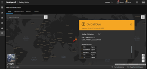
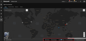
It shows the worker or device location on map, you can search the worker name on search box to see the exact location on map.
Click  to select the different layers that you want to see on the map, such as Areas, Workers, Transportable Gas Detectors, Fixed Gas Detectors, and Plume Modeling.
Click on the objectives on the map to show the object's details.
Plume Modeling
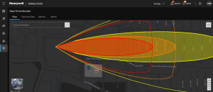
It predicts the paths and concentration of airborne contaminants as they are transported and spread in the atmosphere following a release. These models can be applied to emergency preparedness and response and recovery operations.
Click and drag  on the location to add a Plume Modeling.
Note- Make sure the position should be inside the Site or Area.
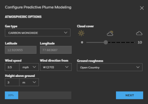
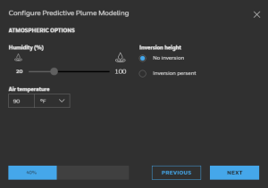
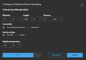
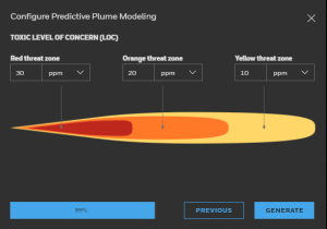
Please enter the atmospheric data as required.
Click on GENERATE button to save the configuration.
Use zoomin/zoomout  to see the close view of added plume modeling.
Select the plume modeling on map, you will see the Remove, Reconfigure, and Hide/Show options below.
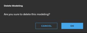
Click on Remove option to delete Plume Modeling.
Click on Reconfigure and update the Plume modeling configuration.
Use the following screen to change the plume modeling configuration.
Click on GENERATE button to save the configuration.

